Dana Roth · 7 September 2026
How Archival Surveys of Summit Terrain Alterations Shape Updated Permit Guidelines for Highland Trail Networks
Archival surveys document long-term shifts in summit terrain across highland regions, and these records now feed directly into revised permit systems for trail networks. Agencies compile elevation data, erosion patterns, and vegetation maps from past decades to establish baselines, then compare them against current conditions to determine access rules. Researchers at institutions like the U.S. Geological Survey integrate these layers to quantify how natural processes and human use have modified ridgelines and plateaus since the mid-twentieth century.
Survey Methods and Data Integration
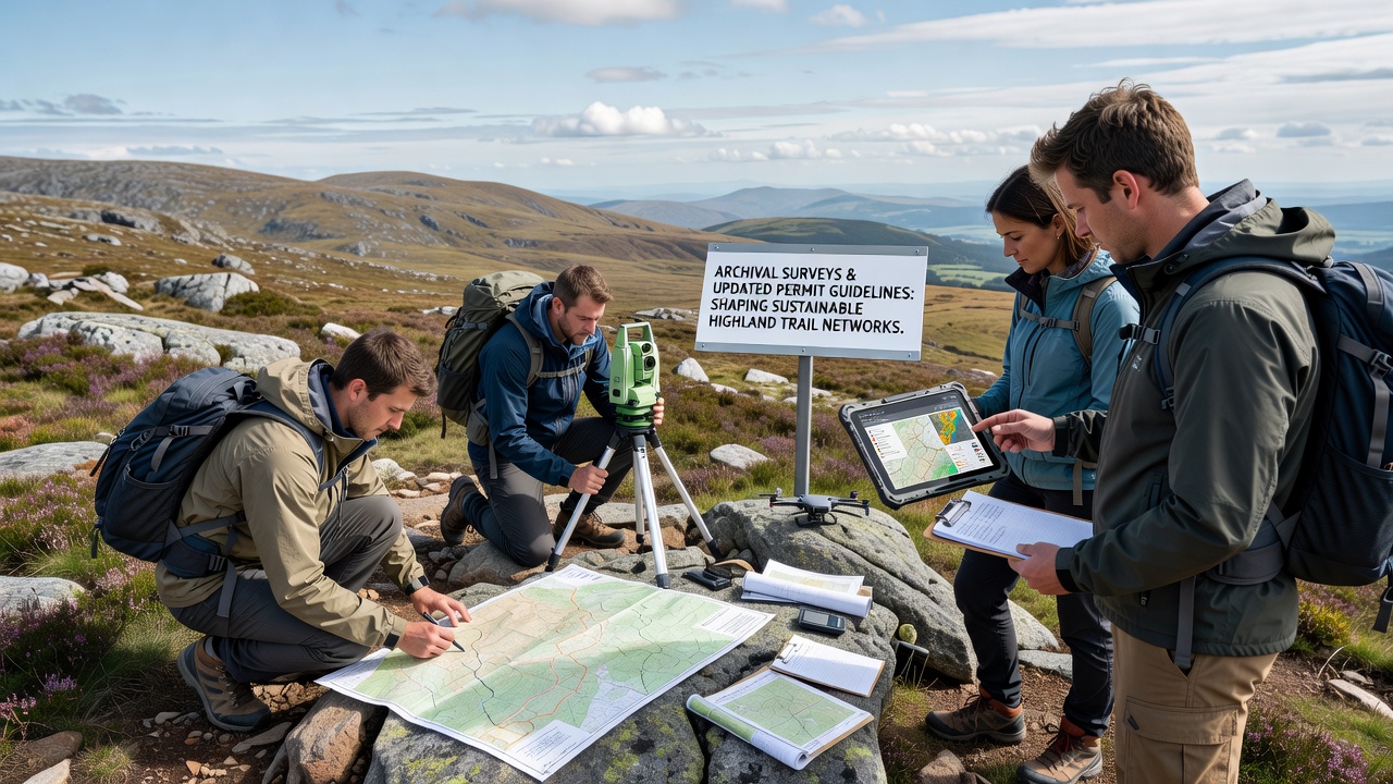
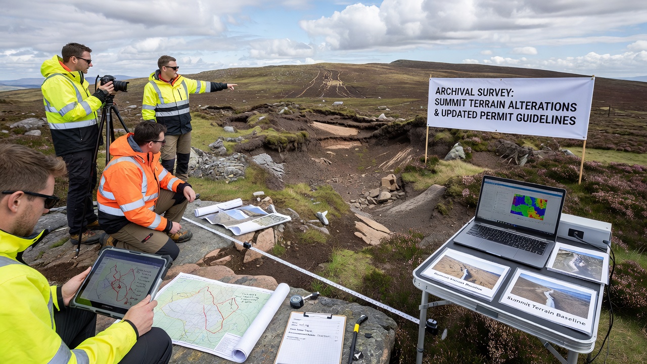
Teams collect historical aerial photographs, LiDAR scans, and field notes from the 1950s onward, then overlay them with modern satellite imagery and drone surveys. This process reveals incremental changes such as soil displacement along ridgelines, altered drainage channels, and retreat of perennial snowfields that once stabilized slopes. Data shows measurable summit lowering in several ranges, with some sites recording average annual elevation loss of several millimeters due to freeze-thaw cycles and increased foot traffic. Permit authorities use these quantified alterations to set capacity limits and seasonal closures that protect fragile surfaces.
Regulatory Updates Driven by Terrain Evidence
Highland trail permits once relied on static route descriptions, yet agencies now require applicants to reference the most recent archival comparisons before approval. In September 2026 several national forest districts implemented new digital permitting portals that automatically flag routes where cumulative terrain change exceeds predefined thresholds. Applicants must submit mitigation plans when surveys indicate accelerated erosion near trailheads or summit approaches. These rules emerged after multi-year analyses demonstrated that older fixed permits failed to account for shifting terrain stability.
What's interesting is how the integration of older datasets changes decision timelines. Reviewers cross-reference 1970s contour maps with 2024 orthophotos to calculate trail tread widening rates, and they adjust group size limits accordingly. Observers note that routes crossing former snowpack zones now carry stricter seasonal restrictions because archival evidence shows increased surface runoff and gullying. Those who've studied the records often discover that seemingly minor summit alterations compound over time, producing measurable impacts on trail sustainability within a single decade.
Regional Examples and Permit Adjustments
Take one study area in the southern Rockies where archival surveys documented a 12 percent increase in exposed bedrock along popular summit spurs between 1985 and 2023. Land managers responded by requiring advance reservations and rerouting segments away from the most altered zones. Similar patterns appear in the Canadian Rockies, where Parks Canada analysts applied comparable methods and introduced variable permit fees tied to terrain sensitivity scores. In the European Alps, Swiss federal offices have begun linking trail authorizations to updated geodetic records that track rockfall frequency near high passes.
Those managing highland networks report that permit conditions now incorporate dynamic buffers around documented alteration hotspots. For instance, trail segments showing more than five centimeters of vertical loss over thirty years receive temporary closures during spring thaw periods. The approach reduces maintenance costs while preserving the original character of summit approaches that visitors expect. Figures from the U.S. Forest Service indicate that such targeted restrictions have lowered reported incidents of trail braiding in monitored high-elevation zones.
Stakeholder Involvement and Future Monitoring
Trail organizations and local clubs participate in ground-truthing sessions that verify archival interpretations before new guidelines take effect. Volunteers collect repeat photographs at fixed survey points, feeding fresh data back into the same databases that inform permit decisions. This feedback loop allows agencies to refine thresholds annually rather than waiting for decadal updates. International bodies such as the International Union for Conservation of Nature have published guidance documents that encourage similar archival review practices across mountain protected areas worldwide.
And yet the system continues to evolve as new remote-sensing technologies become available. Researchers anticipate that by 2030 most highland permit applications will include automated terrain-change reports generated from cloud-based archival repositories. These reports will draw on standardized global datasets, making cross-border comparisons more straightforward for managers overseeing transboundary trail networks.
Conclusion
Archival surveys supply the factual foundation for permit guidelines that respond to documented summit terrain alterations. Agencies combine historical records with current measurements to set evidence-based limits on access, rerouting, and seasonal use. The result is a permitting framework that adapts to measured landscape change while maintaining trail network functionality across highland regions. Continued monitoring ensures that guidelines remain aligned with ongoing terrain dynamics.