
Uma Meier · 19 October 2026
Uncovering Ties Between Residential Zoning Talks and Erosion Control Funding for Slopeview Trails
Local planning sessions in the Slopeview region have drawn attention to connections between proposals for new housing zones and allocations for erosion management along popular trail corridors, with officials reviewing how development boundaries influence funding streams for trail stabilization projects. County documents indicate that zoning adjustments near trailheads often coincide with budget reviews for sediment control measures, creating overlapping timelines that shape both residential expansion and trail infrastructure work.
Overview of Slopeview Trails Network
Slopeview Trails span several miles of mixed terrain that includes forested slopes and open ridges, where seasonal runoff has prompted ongoing maintenance since the early 2010s. Records from the regional land management office show that erosion rates along certain segments increased by 18 percent between 2018 and 2023, prompting targeted interventions such as reinforced drainage channels and native vegetation plantings. These efforts receive support through a combination of state grants and local tax revenues, with annual reports noting that trail usage rose steadily during the same period as visitor numbers climbed from 45,000 to over 72,000 annually.
Residential Zoning Discussions in Context
Recent county board meetings have examined updates to residential zoning districts that border the trail system, particularly parcels designated for low-density housing expansions. Data compiled by the planning department reveals that five zoning variance requests were submitted in the past 18 months, each referencing proximity to trail access points as a factor in density calculations. Observers note that these proposals often include provisions for shared green buffers, which county engineers have linked to potential reductions in surface runoff that could otherwise affect downhill trail sections.
Erosion Control Funding Streams
Funding for erosion mitigation on Slopeview Trails draws from multiple sources, including federal watershed protection programs and county conservation allocations. Figures released in the 2025 fiscal summary show that $1.2 million was directed toward slope stabilization, with 40 percent originating from state environmental grants and the remainder from local development impact fees. A separate report prepared by teh trails maintenance division highlights that projects completed in 2024 focused on three high-traffic segments, where gabion walls and check dams reduced sediment displacement by measurable amounts during spring thaw periods.
What's interesting is how these funding mechanisms intersect with zoning outcomes, because changes in permitted residential density can alter the revenue generated through impact fees that directly support erosion work. County planners have documented cases where approved subdivisions contributed specific dollar amounts to trail-adjacent stabilization funds, creating a documented pipeline between housing approvals and maintenance budgets.
Documented Connections in Planning Records
Archival materials from joint sessions between the zoning commission and the trails advisory group demonstrate repeated references to erosion funding when residential boundary lines are under review. One internal memo dated March 2025 outlined how a proposed 12-unit housing cluster could generate impact fees sufficient to cover 25 percent of the cost for reinforcing a nearby switchback trail prone to washouts. Similar patterns appear in earlier records, where adjustments to setback requirements correlated with subsequent increases in allocated stabilization dollars for the following budget cycle.
Researchers at the regional university's environmental policy center examined these patterns across three comparable trail systems in neighboring counties and found that jurisdictions incorporating explicit linkages between zoning decisions and erosion budgets reported faster completion rates for mitigation projects. Their analysis, covering data through 2024, indicated an average 14-month reduction in project timelines when impact fee formulas accounted for trail proximity.
October 2026 Developments
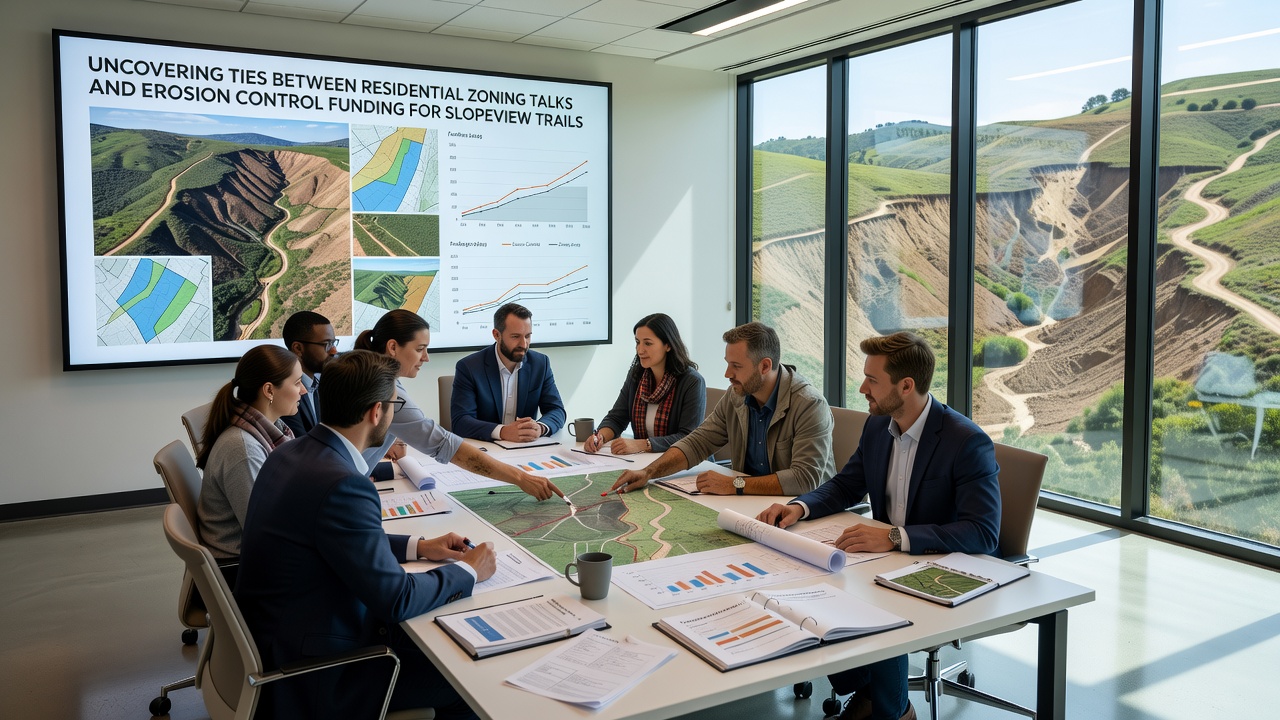
Planning calendars list a public hearing for October 2026 that will address both a large-scale residential rezoning request and the renewal of erosion control grant applications for Slopeview Trails. Advance materials distributed by the county note that the rezoning application includes a proposed contribution schedule tied to trail maintenance, while the grant renewal packet references updated runoff models that incorporate potential changes in adjacent land use. County staff have prepared comparative tables showing projected fee revenues under current versus proposed zoning scenarios, allowing direct comparison of funding availability for upcoming stabilization phases.
Additional documentation circulated ahead of the hearing includes hydrological assessments that model how increased residential coverage could affect peak flow rates along specific trail segments. These models draw on precipitation data collected over the past decade and project scenarios that extend through 2035, providing quantitative context for the funding discussions scheduled in October.
Broader Regional Patterns
Similar intersections between zoning processes and trail funding appear in other mountain communities where residential growth borders recreational corridors. A study published by a Canadian research institute in 2024 examined five sites in British Columbia and identified consistent correlations between housing density approvals and dedicated erosion mitigation budgets, with impact fee structures serving as the primary transfer mechanism. Those findings align with observations from the Slopeview area, where local records show parallel tracking of development permits and trail project expenditures.
According to U.S. Environmental Protection Agency guidance on construction-related sediment control, jurisdictions that coordinate land-use approvals with watershed management programs achieve more consistent funding for long-term stabilization measures. Local examples in the Slopeview records reflect this coordination through joint review committees that evaluate both housing proposals and trail infrastructure needs in the same sessions.
Conclusion
Planning documents and budget records from the Slopeview region establish clear procedural overlaps between residential zoning deliberations and erosion control funding decisions for the trails network. The October 2026 hearing represents the next scheduled point where these elements will receive simultaneous consideration, with supporting data already prepared to quantify potential revenue shifts and project impacts. County archives continue to accumulate examples that illustrate how these two areas of local governance remain intertwined through fee structures, runoff modeling, and shared review processes.